
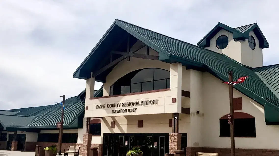
The airport people call “Eagle Vail Airport” is Eagle County Regional Airport (EGE) in Gypsum, Colorado, about 30 miles from Vail. It is a mountain airport: 6,547 feet above sea level, one 9,000-foot runway, a control tower, and FAA remarks that warn pilots of high terrain in every direction. Those warnings are written for flight crews. What a passenger is most likely to notice is winter weather, which can delay flights in and out of the valley.
The name and the location
There is no Eagle Vail Airport. EGE’s address is 217 Eldon Wilson Road in Gypsum, and the FAA record places it 4 miles west of the town of Eagle. EagleVail is a separate community in the Eagle River Valley, on Core Transit’s Highway 6 route between Avon and Vail. Vail is about 30 miles from the airport, a drive of roughly 40 minutes by the Town of Vail’s estimate.
For how EGE compares with Denver and other options, see the closest airport to Vail. The airport sits in Eagle County, and what county Vail is in covers the county’s towns.
What the FAA record shows
| Item | Recorded fact | Source |
|---|---|---|
| Elevation | 6,547.4 feet (surveyed) | FAA data, published on AirNav |
| Runway | 7/25, 9,000 by 150 feet, grooved asphalt in excellent condition. A $40 million extension and rehabilitation project in 2009 brought it to 9,000 feet. | AirNav; flyege.com history |
| Control tower | Staffed from 7 a.m. to 7 p.m.; the current tower opened November 19, 2003 | AirNav; flyege.com history |
| Instrument approaches | RNAV (RNP), RNAV (GPS) and LDA procedures, all to runway 25 | FAA procedures on AirNav |
| Remarks for pilots | “High unmarked terrain all quadrants”; night operations discouraged for pilots unfamiliar with the airport; aircraft departing runway 25 advised to begin a left turn as soon as altitude and safety permit; extensive military helicopter training within 25 nautical miles | AirNav (FAA remarks, abridged) |
What makes it demanding
The terrain remark is the clearest statement. Ground rises on every side, departures on runway 25 are advised to turn left early to stay clear of it, and pilots who do not know the airport are discouraged from flying in at night. Those are notes for crews, not a safety rating, and the airport is equipped for them: a control tower since 2003, approach lighting on runway 25 and its own aircraft rescue and firefighting service.
The runway is long for a mountain field. The 2009 extension lets aircraft take off at heavier weights, which increases their range. Winter storms and wind can delay or reroute flights at any mountain airport; whether a particular flight goes is the airline’s decision.
Planning a flight into EGE
- Airlines and routes. American, Delta, United and Alaska serve the airport. Nonstops to Denver and Dallas run year-round, and more hubs are added in winter; the airlines and destinations page has the current list.
- Flight status. The airport’s home page carries a live arrivals and departures board. Your airline’s app is the better guide on a stormy morning.
- Arrival time. The airport advises arriving at least two hours before departure.
- Getting to Vail. Core Transit’s Valley Route serves the airport and continues through Avon to Vail. Most Core Transit routes are free; trips that include EGE or Gypsum cost $3. Epic Mountain Express (970-754-7433) and High Mountain Taxi (970-524-5555) are among the carriers registered to operate at the airport, which does not guarantee their price or availability, so ask for a quote when you book. How to get to Vail covers the rest of the ways in.
- Winter timing. Snow can affect both the flight and the drive from the airport; when Vail’s snow season starts helps with dates.
Vail’s altitude is a second adjustment after landing; how high Vail is covers what to expect on arrival.